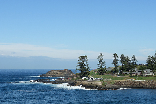
The long weekend over Easter is easily the most anticipated long weekend of the year. After all, it’s a four day break mid-year. This year, T and N successfully convinced D and I to escape with them to the Illawara Region south of Sydney for three days.
First stop is the Kiama Coast Walk from Minnamurra River to Kiama Blowhole.
< !-more->
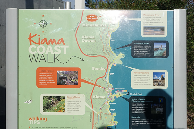
The walk 8.5km one way with a recommended time of 3 hours. After I’d managed to convince T and N that T’s grand plans of making the return walk of 17km in the same 3 hours was unrealistic, and that catching the train back was more sane, we parked the car at Minnamurra Station and walked south towards Blowhole Point.
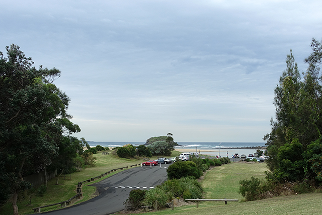
A short walk from the station is Minnamurra River. Without a map on hand, we had no idea that the river itself was the start of the Kiama Coast Walk.
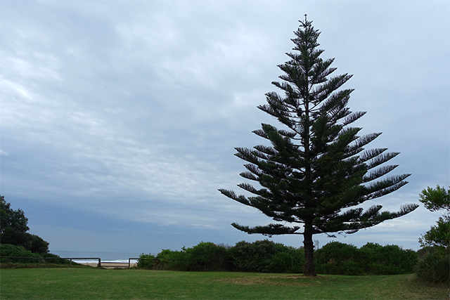
Instead, we walk through some residential streets lining Jones Beach.
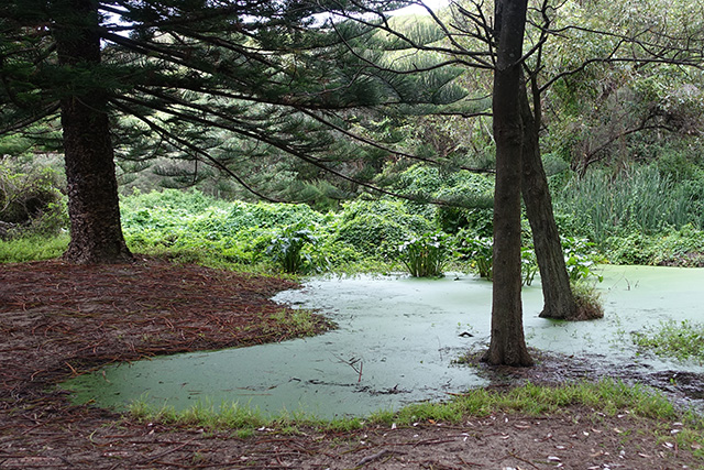
At the south end of Jones Beach, T’s adventurous side takes us through some rather shady looking bushes that back up into people’s private backyards. We’re greeted by this beautifully green body of algae-covered water.
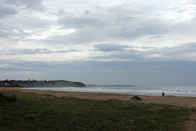
A narrow path leads us to the beach, but not around Bombo Headland. It’s pretty deserted.
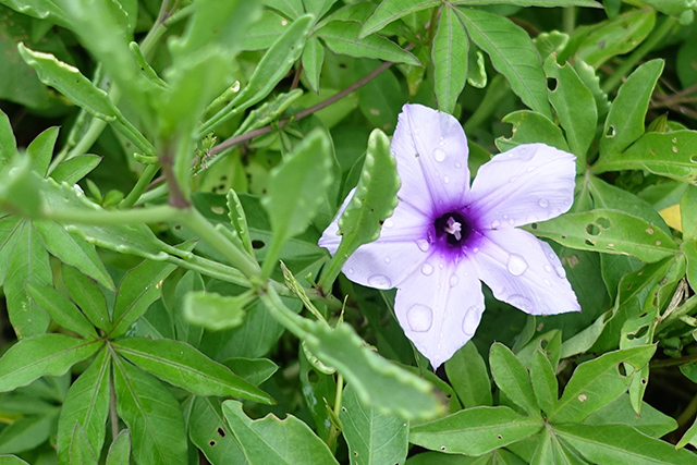
Pretty flowers line the path.
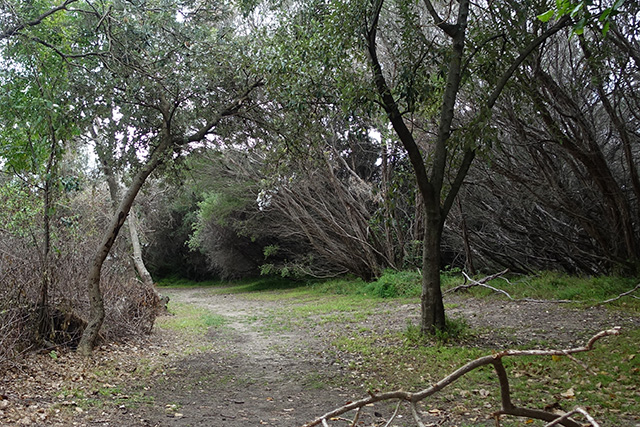
So we back track through the rather shady looking bushes.
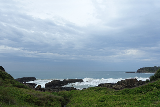
Back on Cliff Drive, there’s an expansive view of the horizon between Jones Beach and Bombo Headland.
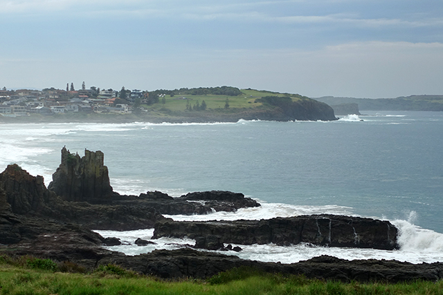
A steep trek down a hill with ants crawling up my shoe and legs, we spot Cathedral Rocks.
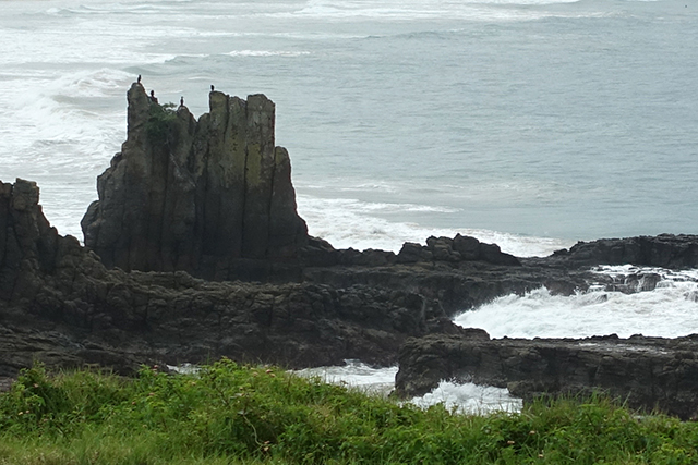
The sign explains ‘the rocks are remnants of the edge of a lava flow that has been eroded by the sea. The latite, commonly known as columnar basalt, owes its name to the characteristic vertical columns that are forumed during the uniqque cooling process of this type of lava’.
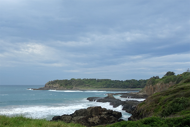
Towards the south, we see Bombo Headland, described as a ‘basalt “graveyard”‘.
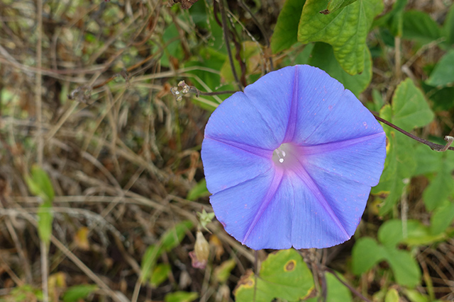
Walking close to the train tracks towards Bombo Beach, we spot some more pretty flowers.
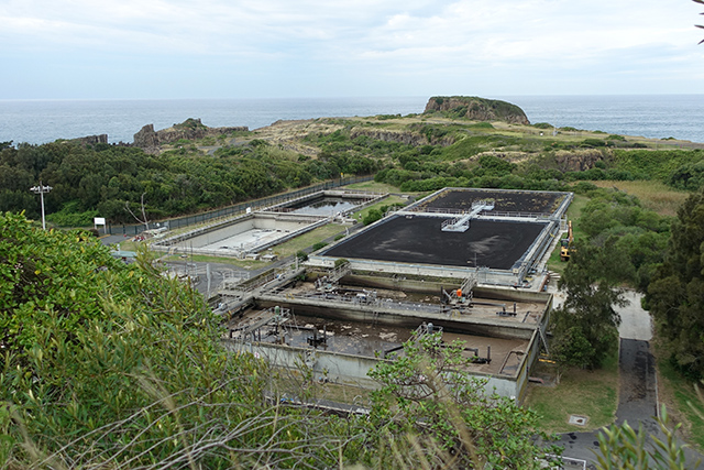
Just before reaching Bombo Beach, we see Bombo Headland Quarry.
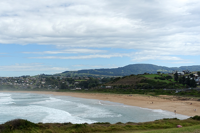
We finally reach Bombo Beach!
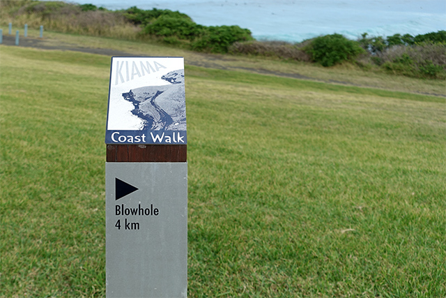
And find out we’re halfway through our planned walk.
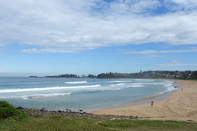
We spend a couple of minutes thinking about how to get across to the other end of the beach and conclude that walking along the entire length of the sandy beach is the only option as the only paved road is a highway.
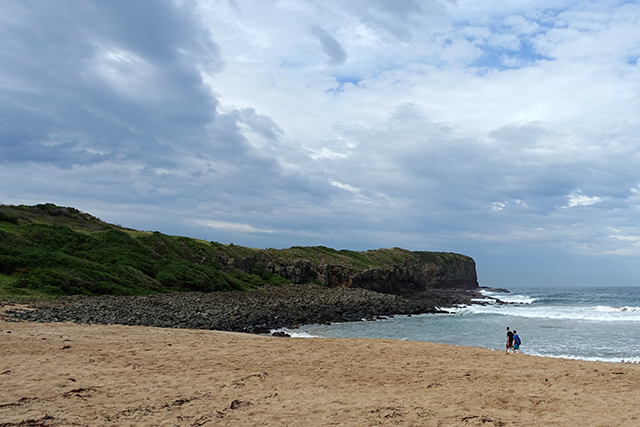
Walking on sand along the entire length of the beach is ridiculously tiring as the sand shifts constantly.
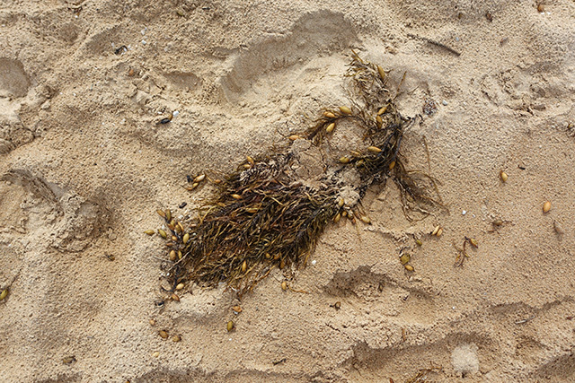
Bunches of these sea plants are dotted around the sand.
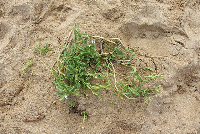
These succulents seemed to have a more permanent life above sea level.
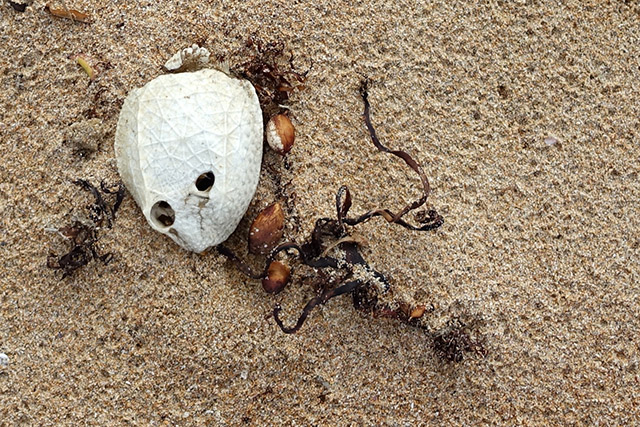
The sand is firmer towards the edge of the beach. There’s larger shells too.
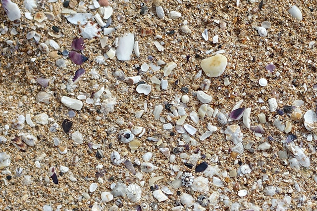
The drier areas of the beach are covered in tiny shells.
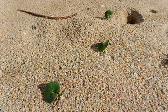
There are tiny holes in the sand all over the beach – I wonder what animal lives in them?
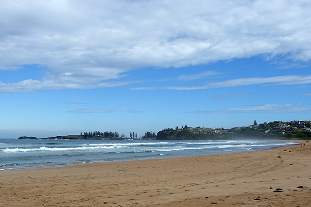
Half way along the beach and there’s still a fair way to go!
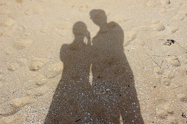
D and I try to experiment with the most efficient way to walk on sand – heel first, flat foot – but we don’t seem to find a sure method, although walking quickly seems to help.
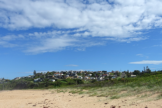
Two-thirds across the beach, the clouds have almost cleared to reveal beautiful blue skies.
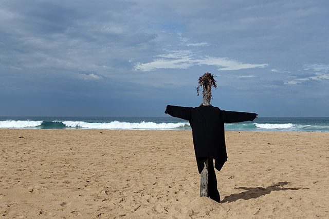
We come across a beach version of a scarecrow complete with sea plant hair.
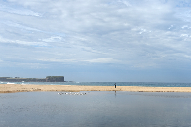
The water from a stormwater drain pools into a makeshift lake just before the ocean.
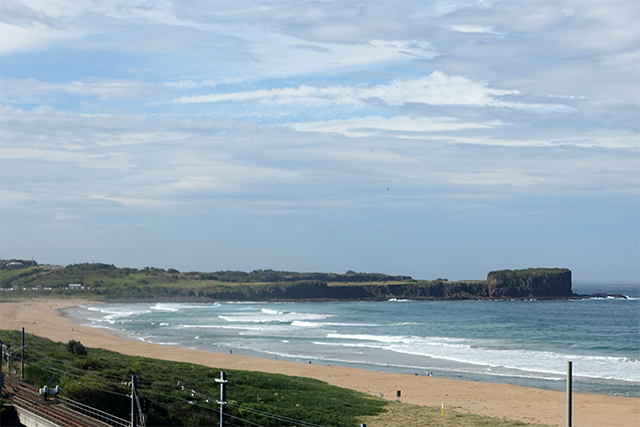
Exhausted from the shifting sand, we trek uphill on Gipps Road with the train tracks in the foreground and Bombo Headland in the background.
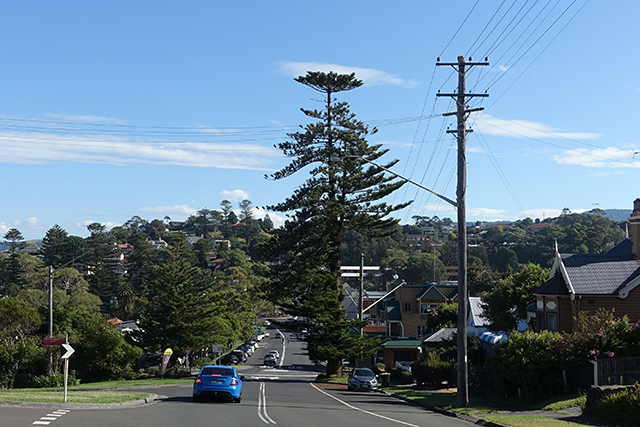
At the top of Gipps Road, we look down the gently sloping Collins Street.
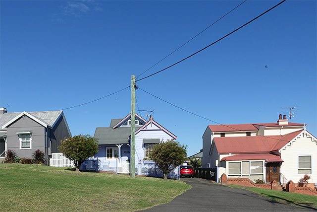
Only to take the steep trek up Collins Street in the opposite direction lined with colourful houses.
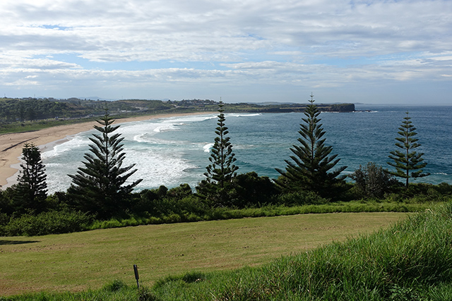
Coming on Pheasant Point Drive, we get wide expansive views of Bombo.
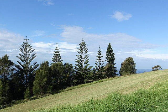
Kiama is a super hilly town!
Coming down to Shoalhaven Street, we finally see what we came all this for, Kiama Blow Point.
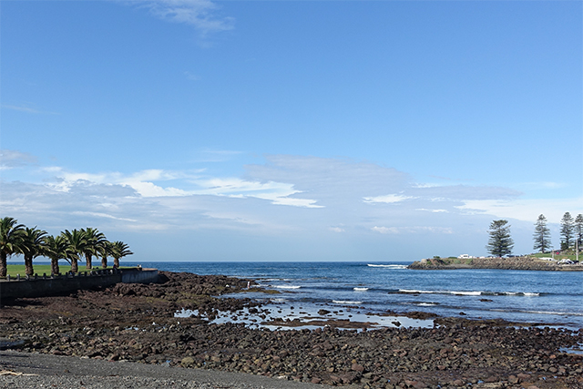
There’s no beach, but there are rocks lining the walk around the coast to Blowhole Point.
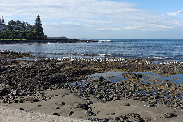
There aren’t many people on the rocks, but the seagulls more than make up for them.
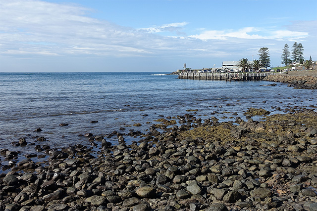
D and I aren’t beach people. It’s been a very long time since we’ve see so much of the coast.
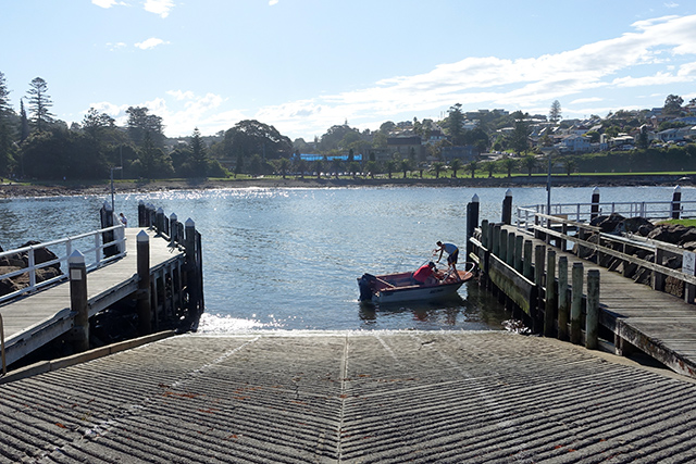
Around on Blowhole Point Road, these men are getting ready to take their boat out.
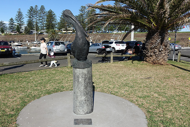
Pelicans are apparently enough of a thing in the area to warrant a sculpture. We saw one!
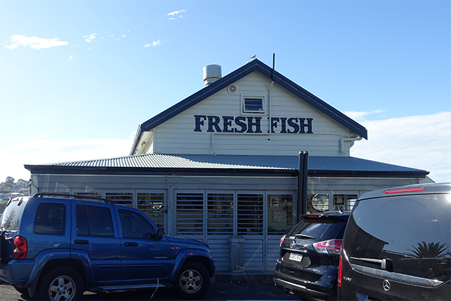
We take a look at the Fresh Fish shop, which is more like a cafe. Or it was so hot that D and I only checked out their drinks menu before deciding to hold off.
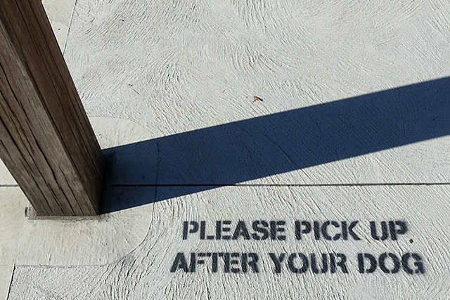
It seems as though almost everyone owns a dog in Kiama. I’ve not seen so many even in Newtown!
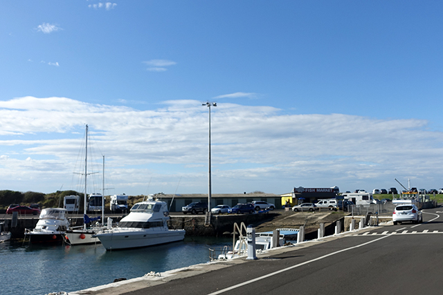
There are plenty of boats moored around the area.
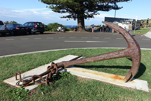
And only a billion parking spots for cars. I will never understand why we didn’t just park at Blowhole Point, seeing as it was what we came for and there were literally no other people on the walk between there and Minnamurra. Plenty of people made pit stops in their cars, though.
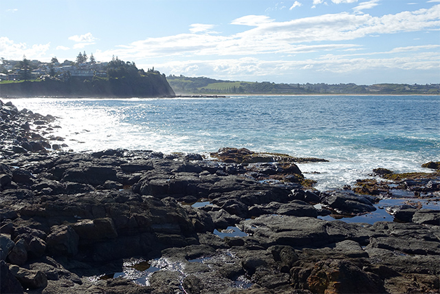
The sea really does shine!
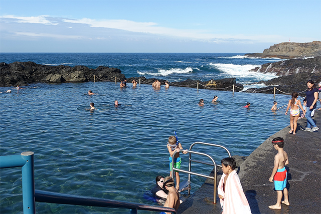
There’s a free pool full of kids. I’m not sure if it’s seawater, though, as I got whiffs of chlorine.
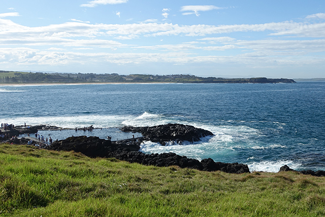
It would be quite the experience swimming to this view.
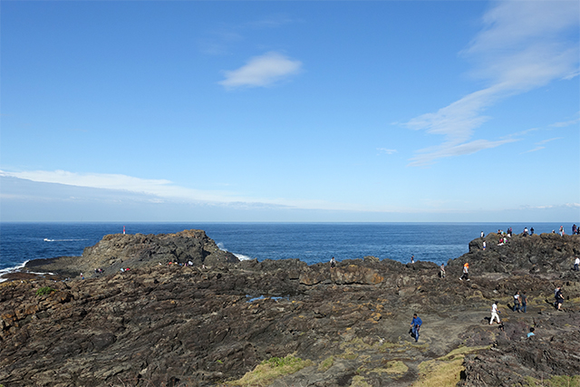
Further along, we hit the rocky parts of Blowhole Point. There’s plenty of signage about the dangers of climbing on the rocks.
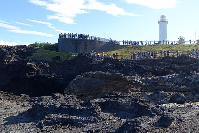
And the view up towards the viewing areas for the blowhole and Kiama Lighthouse.
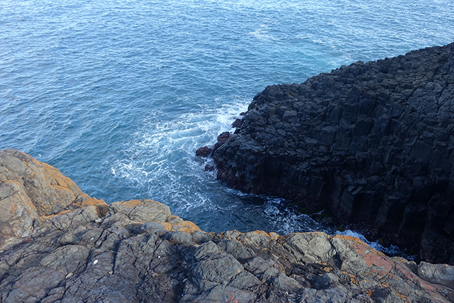
This is where the water comes in to the blowhole I imagine. Look at the columnar basalt.
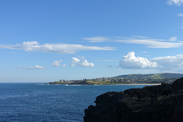
Kendalls Beach is in the background.
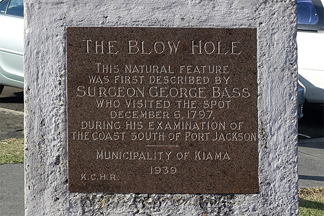
A plaque explains the discovery of the Kiama Blowhole.
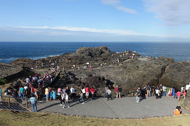
The large crowds are quite vocal every time a spout comes up from the Blowhole.
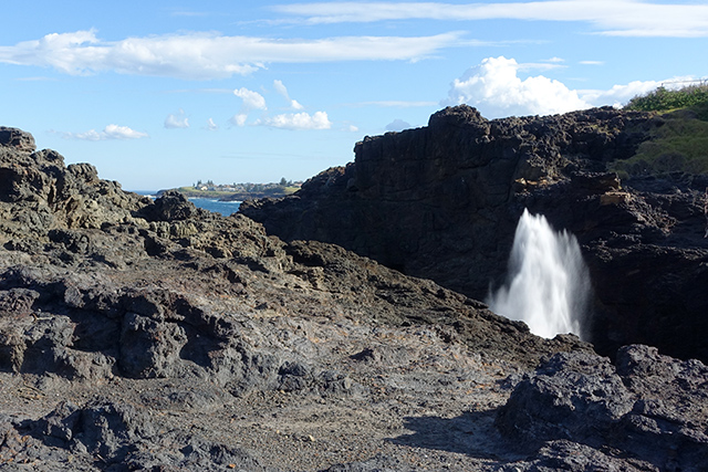
We’d visited the blowhole once during an unmemorable trip to Nowra after high school in 2007 that I have not much of a memory of it.
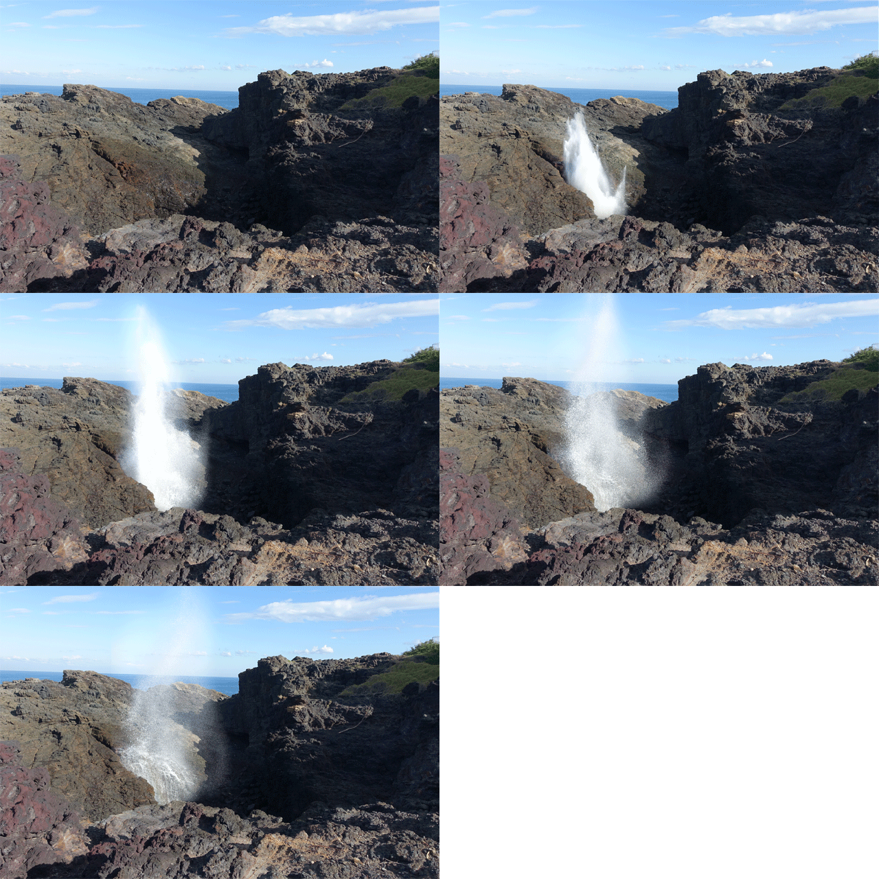
The Blowhole is can spout water over 20m into the air, but it was rather weak when we arrived. We got a few spouts but nothing amazing.
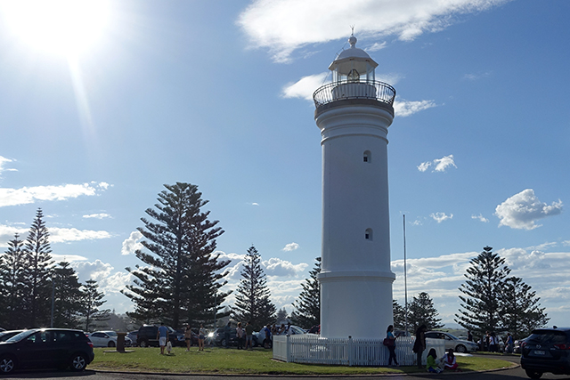
Next to the Blowhole is the Kiama Lighthouse,’established in 1887, 10 years after the creation of the Robertson Basin, a man made harbour to service Kiama’s supply of crushed blue metal and paving blocks for the streets of Sydney.’
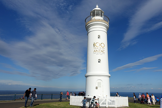
The lighthouse was recently spruced up to celebrate 100 Years of Anzac (2014-2018).
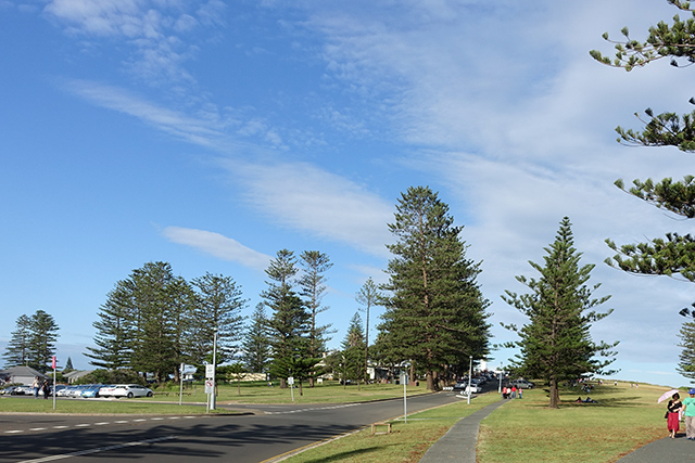
By the time we get to Blowhole Point, T’s come around to the idea of catching a train back to Minnamurra.
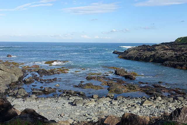
So with 20 minutes until the next hourly train, we head down towards the station near the town centre.
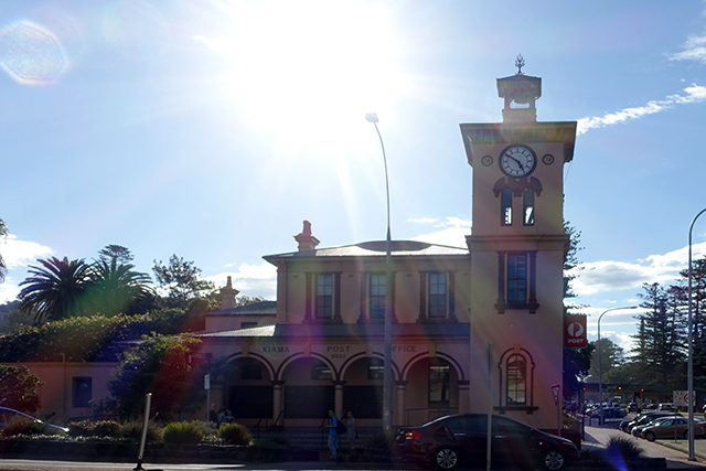
Kiama Post Office is built in a Victorian Italianate style of architecture you tend to see only in towns now.
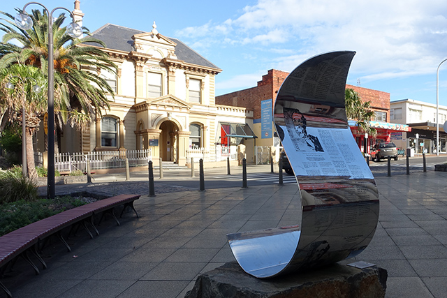
A sculpture sits outside the Town Hall.
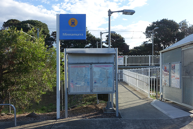
And finally, after a 7 minute train trip, we’re back at Minnamurra.
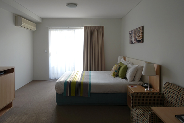
We pile back into the car en route to our hotel, Pioneer Sands, in Wollongong for some much needed rest.